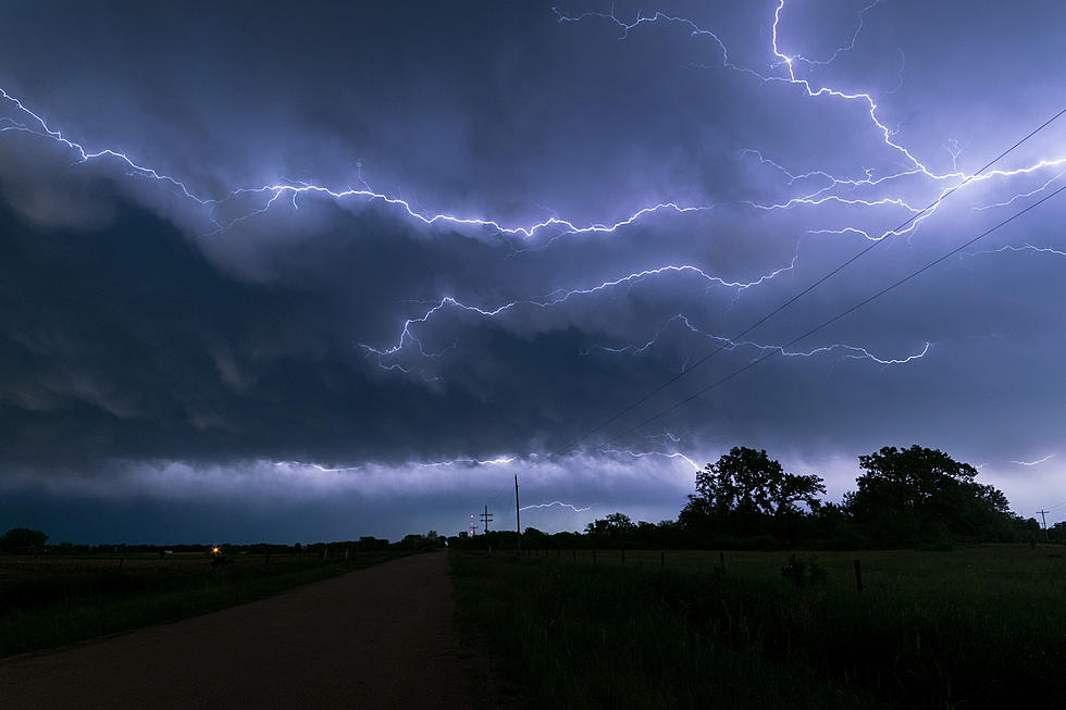
Thunderstorm Watch Issued Until 7 p.m. Thursday Evening
The National Weather Service has issued a Severe Thunderstorm Watch for Pettis County along with other counties in Missouri until 7 p.m. Thursday evening.
The other counties include:
ADAIR AUDRAIN BARRY
BENTON BOONE CALDWELL
CALLAWAY CAMDEN CARROLL
CEDAR CHARITON CHRISTIAN
COLE COOPER CRAWFORD
DADE DALLAS DAVIESS
DEKALB DENT DOUGLAS
FRANKLIN GASCONADE GENTRY
GREENE GRUNDY HARRISON
HENRY HICKORY HOWARD
HOWELL IRON JOHNSON
KNOX LACLEDE LAFAYETTE
LAWRENCE LEWIS LINCOLN
LINN LIVINGSTON MACON
MARIES MARION MERCER
MILLER MONITEAU MONROE
MONTGOMERY MORGAN OREGON
OSAGE OZARK PETTIS
PHELPS PIKE POLK
PULASKI PUTNAM RALLS
RANDOLPH RAY REYNOLDS
SALINE SCHUYLER SHANNON
SHELBY ST. CLAIR STONE
SULLIVAN TANEY TEXAS
WARREN WASHINGTON WEBSTER
WORTH
A Severe Thunderstorm Watch is issued by the National Weather Service when conditions are favorable for the development of severe thunderstorms in and close to the watch area. A severe thunderstorm by definition is a thunderstorm that produces one inch hail or larger in diameter and/or winds equal or exceed 58 miles an hour.
KIX 105.7 will keep you updated with any further impending weather developments.
KEEP READING: Get answers to 51 of the most frequently asked weather questions...
More From KIX 105.7