Winter Weather Advisory Issued For Most of Listening Area
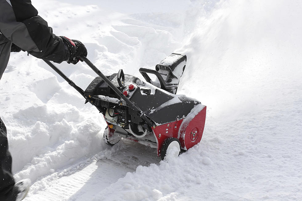
A Winter Weather Advisory has been issued by the National Weather Service in Kansas City/Pleasant Hill from 3 p.m. today (Feb. 15) until 9 a.m. Monday (Feb. 16). In addition the southern portions of our listening area Benton, Morgan, Hickory and St. Clair Counties are under a winter storm warning, where 5-7 inches of snow, maybe up to 10 could fall between 3 this afternoon and 3 tomorrow afternoon (Feb. 16).
The Pettis County Sheriff's Office issued a nixle statement to further prepare you.
A Storm System Is Expected To Move Into The Area Today, With Snow Initially Developing During The Mid Afternoon Along The Interstate 70 Corridor And Spread Southward Through The Late Afternoon Into The Evening Hours. One Or More Bands Of Snow Is Expected, Ending From West To East During The Morning Hours On Monday.Total Snow Amounts For Pettis County Are Expected To Be In The 4-6 Inch Range, With Lesser Amounts To The North Along The Missouri River And 5-7 Inches Possible For Benton And Morgan Counties. Higher Amounts Approaching 10 Inches Will Be Possible Across Southern Missouri Where Snowfall Rates In Excess of 2 Inches Per Hour Can Be Expected Within These Bands Of Snow.The Expected Start Time For Snow And Accumulations Will Continue To Be Fine Tuned Through The Day Today Into Tonight. Remain Alert For Forecast Updates.
Significant Snow Increasingly Likely This Evening Into Monday...* Location... For Areas Along And South Of The Missouri River.
More From KIX 105.7