Welcome To Spring!
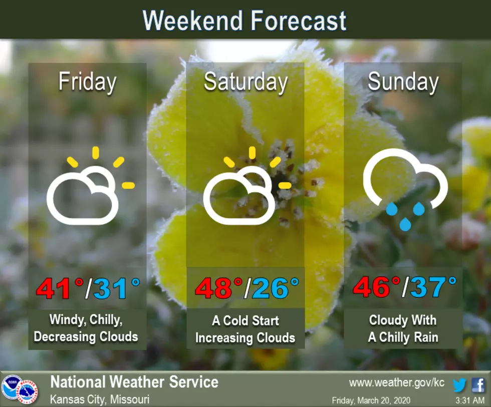
After a taste of spring earlier this week, it's back to chilly daytime temperatures and cold overnight lows. Lows Saturday morning will drop into the 20s across the area. A chilly rain is expected to move back into the area Sunday.
Here's the forecast for the Sedalia/Whiteman AFB/Warrensburg area according to the National Weather Service:
FridayA slight chance of rain before 8am. Cloudy, then gradually becoming mostly sunny, with a high near 42. Breezy, with a north wind 14 to 21 mph, with gusts as high as 31 mph. Chance of precipitation is 20%.Friday NightMostly clear, with a low around 26. North northeast wind 5 to 14 mph.SaturdaySunny, with a high near 48. East wind around 5 mph becoming calm in the afternoon.Saturday NightA chance of rain after 1am. Mostly cloudy, with a low around 36. East wind 3 to 6 mph. Chance of precipitation is 50%. New precipitation amounts of less than a tenth of an inch possible.SundayRain likely, mainly before 1pm. Cloudy, with a high near 45. Chance of precipitation is 70%. New precipitation amounts between a tenth and quarter of an inch possible.Sunday NightMostly cloudy, with a low around 35.MondayMostly cloudy, with a high near 58.Monday NightRain likely, mainly after 1am. Mostly cloudy, with a low around 47. Chance of precipitation is 60%.TuesdayRain, mainly before 1pm. High near 63. Chance of precipitation is 80%.Tuesday NightMostly cloudy, with a low around 44.WednesdayMostly sunny, with a high near 68.Wednesday NightPartly cloudy, with a low around 47.ThursdayPartly sunny, with a high near 65.
More From KIX 105.7