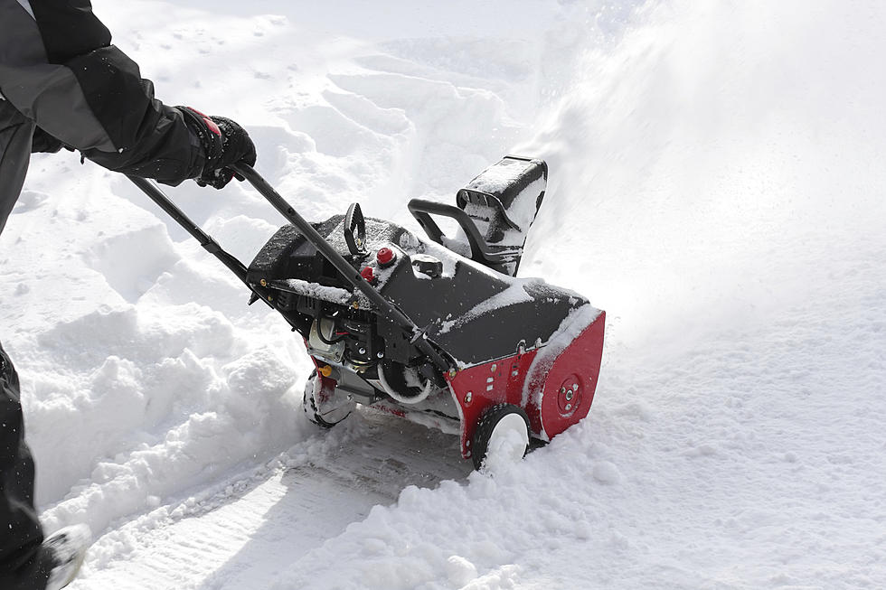
Possibly Snow in the Forecast by the Weekend?
After early morning showers in the area, more showers and thunderstorms are expected in Central Missouri on Thursday. A good possibility of rain/snow mix north of Missouri River Saturday morning
Here's the forecast for the Sedalia/Whiteman AFB/Warrensburg area according to the National Weather Service:
WednesdayA chance of showers before 8am. Patchy fog before 7am. Otherwise, mostly cloudy, then gradually becoming sunny, with a high near 63. Light and variable wind becoming north around 5 mph. Chance of precipitation is 30%.Wednesday NightA slight chance of showers after 4am. Partly cloudy, with a low around 46. Calm wind becoming south southeast 5 to 7 mph after midnight. Chance of precipitation is 20%.ThursdayShowers likely, with thunderstorms also possible after 9am. Mostly cloudy, with a high near 68. South wind 7 to 10 mph becoming northwest in the afternoon. Chance of precipitation is 70%. New rainfall amounts between a tenth and quarter of an inch, except higher amounts possible in thunderstorms.Thursday NightMostly cloudy, with a low around 37. North northwest wind 6 to 14 mph, with gusts as high as 20 mph.FridayMostly cloudy, with a high near 53.Friday NightRain, mainly after 1am. Low around 36. Chance of precipitation is 80%.SaturdayRain, mainly before 1pm. High near 43. Chance of precipitation is 80%.Saturday NightCloudy, with a low around 35.SundayMostly cloudy, with a high near 51.Sunday NightA chance of rain. Mostly cloudy, with a low around 42. Chance of precipitation is 30%.MondayA chance of showers. Cloudy, with a high near 62. Chance of precipitation is 40%.Monday NightShowers likely. Cloudy, with a low around 48. Chance of precipitation is 60%.TuesdayRain likely. Cloudy, with a high near 59. Chance of precipitation is 60%.
More From KIX 105.7