Google Maps Leads 100 Drivers Astray … Wait Make It 101
I recently read an article from Fox 4 in Kansas City about 100 drivers lead astray by Google Maps. Apparently a crash on a major road leading to Denver's airport prompted people to look for a different way to get there. Google Maps provided an answer that took them down a muddy dirt road. Cars became stuck, cars jammed up behind them and it was a real mess. This is the part of Google Maps that's dicey.
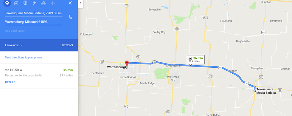
I've used Google Maps alot recently. I used it the first few times I traveled between Sedalia and the Quad Cities. I'm using it now to learn my way around my new home town Warrensburg. Lot's of times it's on the money, but every now and then it can be a little off the mark.
For example, there's three ways to get between Sedalia and the Quad Cities. You can go out of your way towards Warrensburg and eventually get on I-35 and take it to I-80. It's out of the way, but if you want to travel mostly interstate highways, it's this. You can also take the "backroads" through Hannibal and into Illinois, or the backroads that keep you in Missouri and Iowa. That last choice. There's some white knuckle barely paved roads on that route. I mean you could reach out of your car and pet a cow at points. I did that third option once and decided never again. I wouldn't even present that route as an option.
Then last night, I decided to google map my way to the Dairy Queen. On the way there it took me way out of my way. I got a great tour of a Warrensburg neighborhood. Too bad it was dark. But surprise, surprise, when I typed my address in to get home, it somehow was a much quicker and straight forward route. Made me wonder why it didn't send me that way to get to the DQ.
The other thing that bugs me with Google Maps, it gives you all the options, but it likes to committ you to the shortest option. You can tell it five ways from Sunday you want to do the other longer route, but it doesn't care. It doesn't account for someone having a preference for a route that may be longer. If you're not paying attention it'll route you back to the route you don't want to take.
Don't get me wrong, Google Maps and other GPS map services have revolutionized driving. I guarantee you, 25 years ago I probably would have tried to go between Sedalia and the Quad Cities or Chicago totally on the Interstate. On a traditional map, that always seemed the sure bet. With Google Maps on your phone, or a GPS in your car, all bets are off, and the road less traveled is sometimes the quicker route. Other times, it'll take you twice as long to get your Peanut Buster Parfait. Or worse, it'll get you stuck on a muddy back road while you're trying to get to the airport to make your flight.
More From KIX 105.7


