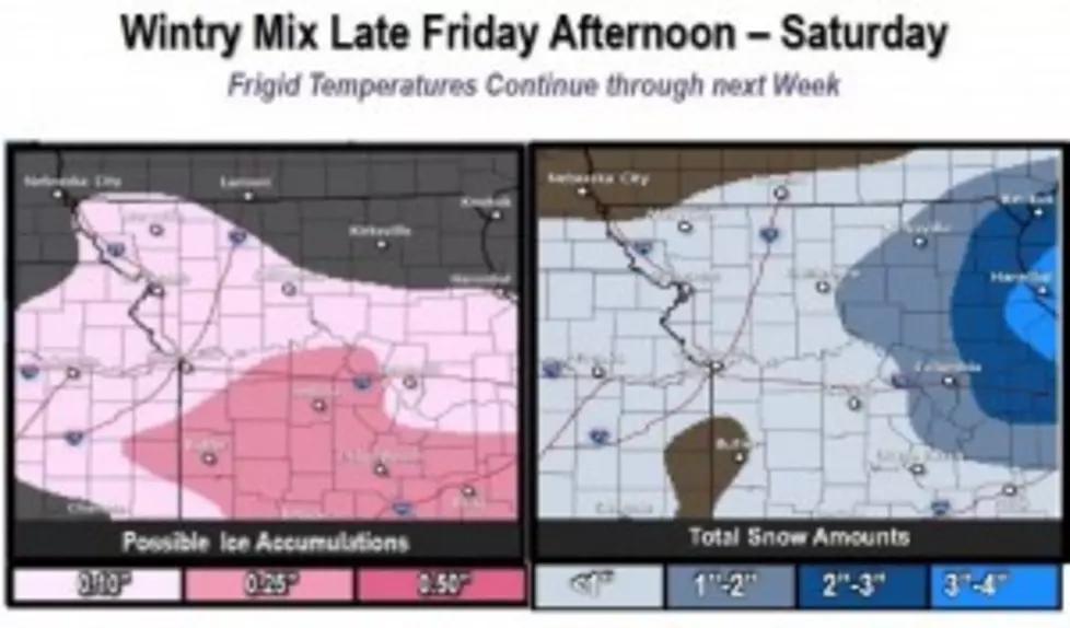
Winter Weather Advisory Issued For Friday Afternoon And Saturday Morning
The National Weather Service in Pleasant Hill/Kansas City has issued a winter weather advisory from this afternoon (Feb. 20) at 4 until 10 Saturday morning (Feb. 21). The National Weather service is predicting a mix of snow, sleet and freezing rain.
The ice accumulations could be greater than one-tenth of inch south of I-70, with lower amounts to the north. There could also be up to two inches of snow across West Central Missouri.
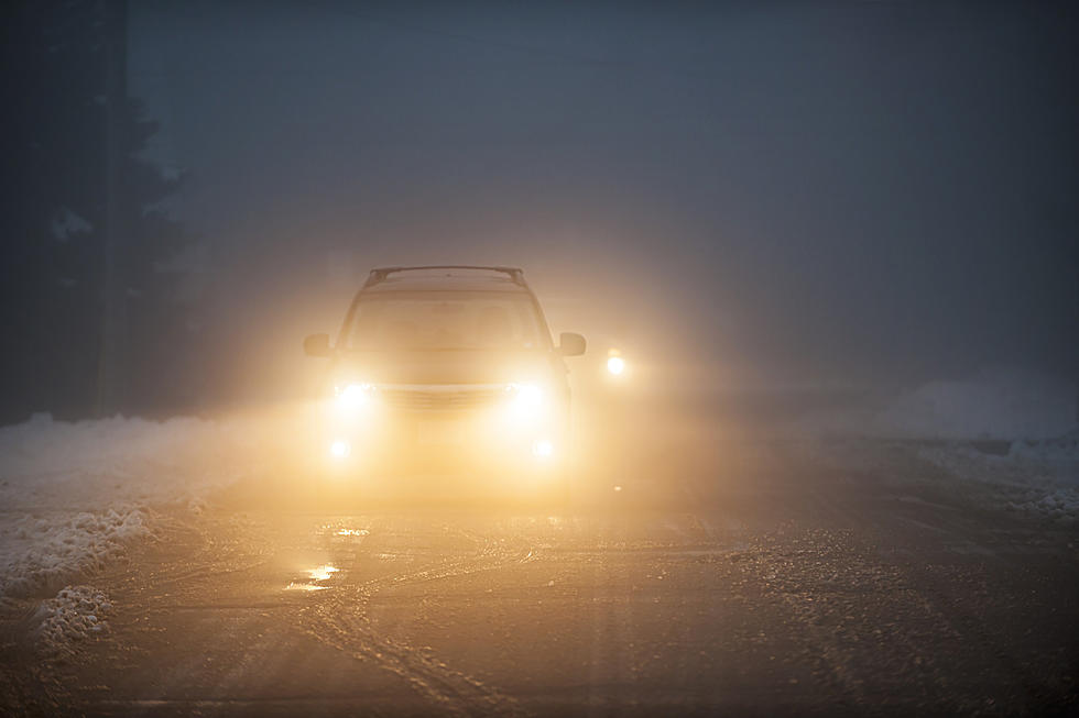
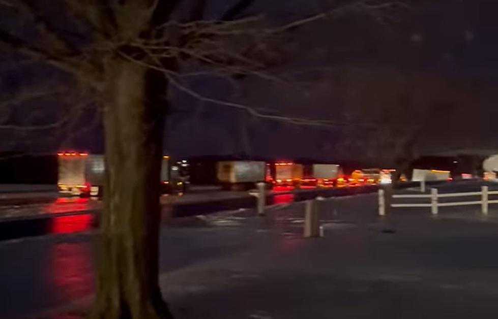
The combination of ice and snow accumulations will make travel hazardous this evening and through the overnight.
The Sedalia/Pettis County EMA Manager, David Clippert, issued an advisory statement:
A possibility of freezing rain tonight. It could start as early as 4 PM, but I think it will be more likely to begin after 6 PM. It looks as if it will be just a little over a 1/10 of an inch. Just enough to make driving hazardous. Light freezing rain will continue into the overnight hours and will gradually warm up enough to turn the freezing rain over to snow with an accumulation of about an inch.
This is not major, but that thin glaze will make driving very hazardous and bridges very slick. How this plays out is really a matter of about 2 degrees of temperature. Rain freezes on impact with things that are at 32 degrees or a little lower. If the ground temperature is above 33 degrees or above it won’t freeze. Our temperatures are expected to be between 29 and 32 degrees tonight until Saturday around 9-10 AM.
If it starts to rain while driving, slow down, leave plenty of room between you and the vehicle in front of you and watch for slick conditions on bridges. The single MOST important thing you can do is slow down!
More From KIX 105.7