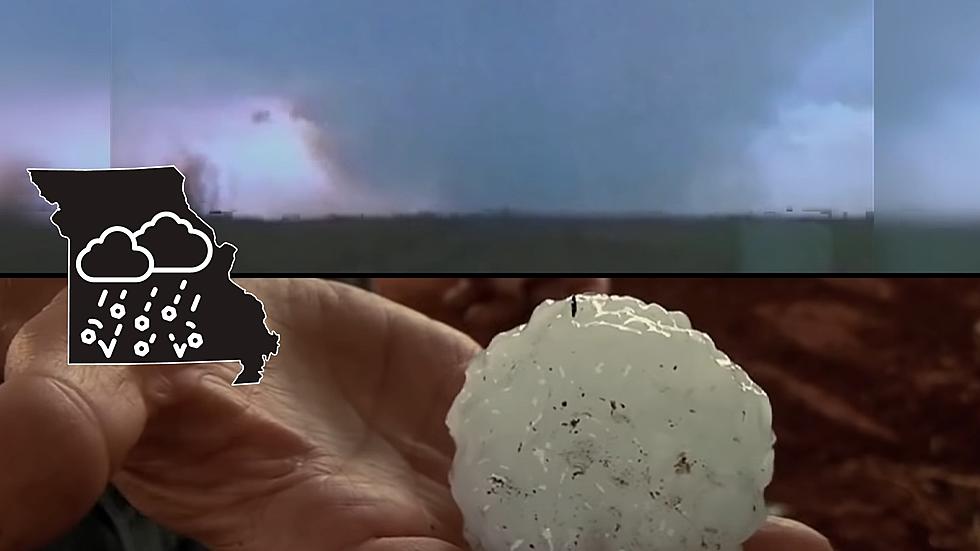
There's good news and bad news about what many forecasters consider to be a dangerous storm system that will impact Missouri early next week. It is expected to crash Missouri temperatures and cause them to freefall more than 50 degrees in just hours, but that drop won't last long.
It will forever be remembered as the day when the sky tried to pound Missouri into the ground. The worst hailstorm in history that began in the Kansas City area continued across Missouri until it relented just past St. Louis nearly 23 years ago.
By now, I'm sure you're aware that Missouri was a slick place to be Monday after ice canvased the area. Security camera video shows a Missouri guy who suddenly got pulled from his driveway into the street when he ended up on a sheet of ice.
If you need evidence that it's best to stay off the highways and roads today, take a look at this. A new video shows that Highway 61 in Missouri is at a complete lockdown due to ice.
Even though some damage and some areas were flooded in Pettis and Johnson counties due to storms and rainfall in the second half of June up to July 1, the two counties are not included in a request for federal assistance.
While conducting storm damage assessments and helping remove storm debris a Johnson County EMA crew helped a senior who had fallen and couldn't get up.
The National Weather Service out of Kansas City says besides the storms this morning, we could see another round of storms this afternoon, Saturday June 15.