Here’s How Much Snow We Can Expect Friday Night and Saturday… Maybe
Scroll down to read Rob's original post on the difficulties of predicting the winter weather expected for our area this weekend, Friday, January 13, and Saturday, January 14. Updated information regarding the forecast, travel conditions, etc. will be added to the post on Friday and throughout the weekend as necessary.
Update 8:0 PM CST, Saturday, January 15
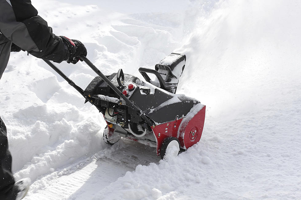
This storm pretty much played out as the meteorologists said it would. According to the National Weather Service, they said our area got between three and four inches of snow. Although, here in my Warrensburg neighborhood it seems like we received around an inch.
Roads this morning in the Warrensburg area were well plowed and I didn't have much trouble getting over to the Walmart. Around 5:30 PM CST Kathy and I had a pizza delivered, and the driver told me to be careful if I had somewhere to go tonight because things were starting to freeze up. And just after 7:00 PM CST I received an alert from Johnson County Emergency Management saying the Westbound ramp from Highway 50 to Maguire in Warrensburg would be closed for approximately 30 minutes because it was a sheet of ice.
The icing of surfaces and slippery roads seems to be the last hurdle of this storm. The National Weather Service reminds folks to slow down. Roads may look wet but be covered by patches of ice that may not be noticeable.
Our Weatherology forecast for the next few days lays out like this:
Tonight - Low of 17
Tomorrow - A mix of clouds and sun with a high of 35.
Monday - A mix of clouds and sun with a high of 39.
Tuesday - Partly cloudy and a high of 51.
Update 11:30 PM CST, Friday, January 14
There didn't seem to be a lot of movement on the snow total front from either Weatherology or the National Weather Service. Snow totals tended to fluctuate between two and four or two and five inches.
Earlier today the National Weather Service put most of the Townsquare Sedalia/Warrensburg listening area under a Winter Weather Advisory. This will be in effect until Noon Saturday, January, 15. The Advisory says there will be slippery road conditions and patchy blowing snow might reduce visibility. The advisory says our area will receive anywhere from two to five inches of snow.
As of 10:00 PM CST, the National Weather Service is reporting that road conditions in Northern Missouri and Kansas are deteriorating. Rain may already be changing over to snow in the North Kansas City area, and the rest of us should see a changeover to snow by 1:00 AM CST Saturday, January 15.
The City of Columbia will start pre-treating roads for snow just after 3:00 AM CST, and a full 27 person plow crew will be out at 7:00 AM CST. The City of Columbia will make an announcement when and if snow reaches two inches that parking is prohibited on first and secondary primary roads. Updates can be found here on the City's Public Works Facebook page.
The City of Warrensburg will put their Emergency Snow Ordinance in effect from 6:00 AM - 6:00 PM CST. More information on the snow ordinance can be found here.
Update 10:30 PM CST, Thursday, January 13
The National Weather Service posted on Facebook earlier this afternoon that they're sticking with their forecast of one to four inches of snow predicted for the area. Additionally, they believe snow will start falling in the Kansas City, Warrensburg, Sedalia, Columbia corridor sometime between 9:00 PM CST - Midnight tomorrow.
Southwest Airlines issued a travel advisory for passengers with an itinerary that includes Kansas City, Des Moines, Minneapolis / St. Paul, St. Louis, or Omaha and are scheduled to travel tomorrow, Friday, January 14, or Saturday, January 15, may experience service disruptions. Reservation holders for these two days may reschedule their flights without an additional charge, according to the airline's reservation policy. You can learn more about that here.
American Airlines has issued a travel alert for those scheduled to travel to many cities in the South East on Sunday, December 16, and Monday, December 17. The airline is letting those travelers either re-book on an earlier or later flight. More information can be found here. American Airlines doesn't have anything posted about travel throughout the midwest for Friday or Saturday, and all their flights into Columbia Regional Airport are showing as scheduled as of 10:30 PM CST tonight.
After a light round of snow to start off the year, and a warm-up this week, West Central Missouri is getting ready for more snow this weekend, potentially, maybe.
The takeaway on Thursday, January 13, from the National Weather Service in Kansas City is that snow is likely for our area over the weekend. The good news, it looks like a somewhat similar setup to what happened to start the new year.
The National Weather Service says Kansas City, Sedalia, Columbia, and Jefferson City can all expect two to four inches of snow from Friday night through Saturday. Moberly can expect three to six inches of snow and St. Joseph two to five inches of snow.
Our forecasters at Weatherology don't give precipitation totals in their online forecasts. However, they're calling for snow too. And Weatherology's forecasts on our radio stations, like the National Weather Service, are calling for two to four inches of snow for our area.
As of Thursday morning, the National Weather Service writes on Facebook, "We're expecting some snow Friday afternoon through Saturday afternoon, peaking during the overnight hours. Heaviest accumulations are expected in far northern MO along the IA/MO state line. Lower amounts are expected further south with between 2 and 4 inches for the KC area."
I'll admit I find the complexity in trying to predict our weather interesting, and once again for this storm, forecasters at this point are left guessing. KSHB's Gary Lezak spends quite a bit of time explaining the difficulties meteorologists are having with this storm. Lezak writes, "The fact that this storm doesn't really even exist yet, and it is just a stream of energy aloft, should open your eyes to how complex this really is."
That's right, our meteorologists are trying to predict a storm that doesn't exist, and ya know mother nature sometimes has her own ideas on how things should go. Lezak does predict the storm system will develop and after passing through our area will drop a foot or more of snow in southern cities in Tennessee and Kentucky.
Now I'm not a meteorologist, although I am friends with one in Texas and one in Florida, and I spend time trying to figure out the forecast trying to figure out if I'm going to have to deal with freezing antennas, school, and business closures, and whether or not I want to make that trip out for pizza or have it delivered. So I am wholly unqualified to predict anything. But think that'll stop me?
Just looking at what the experts are saying. I think how much snow we get depends on where it sets up and how long it takes to move through the area.
A couple of other things, we'll be here. And like last time, depending on how the forecast changes, I'll start adding updates from Weatherology and the National Weather Service at the top of this article.
Probably worth stopping at Walmart tonight too, need to pick up some salt for the driveway.
You Can Rent This Airbnb in Sedalia for the State Fair
Gallery Credit: Rob Creighton
Heading to Whataburger? Here's Some of the Items On Their Menu
Gallery Credit: Rob Creighton
More From KIX 105.7