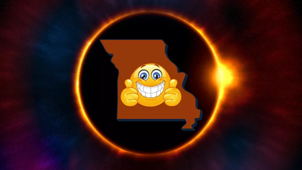
Severe Thunderstorms and Tornados Possible Over the Weekend
The National Weather Service is predicting that severe weather could pick up this weekend, with a higher likelihood that bad weather will strike on Sunday night or Monday morning.
The National Weather Service has issued a flood watch for our area from midnight through Thursday evening. Several rounds of thunderstorms are expected over the region tonight and Wednesday. These storms may repeatedly impact the same areas with total two inches of rain expected across the region
According to Pettis County EMA Director David Clippert, the EMA will have a check of the emergency sirens today at noon. It's hard to believe we are coming off a major snow storm, and now we turn our attention to severe thunderstorms, but hey, that's Missouri weather. It won't be long before we are watching the radar for severe thunderstorms.
Spring may have started on Mar. 20, but it looks like winter still wants to shine. The National Weather Service has been predicting snow for the next couple of days. Some areas were expected to get up to five inches, others around one or two.
Kids, you've heard it, and I'm sure you're dreading it. After we got all that snow next week, the scuttlebutt is we're getting another big snowstorm this evening and Tuesday.
So you pretty much know by now what to do if you get snowed in. You're pretty well prepared by now, because of last week. So now you've got to really sit and think about what's next: What NOT to do.
The National Weather Service in Kansas City/Pleasant Hill has issued a Winter Storm Warning, which is in effect from Monday evening (Feb. 25) thru Tuesday afternoon (Feb. 26) for portions of central Missouri, including Pettis County.
Could the last gasp of winter be coming this week? The National Weather Service is predicting snow to impact this area on Wednesday night (Feb. 20) and Thursday (Feb. 21). A Winter Storm Watch has been issued, and they are projecting that a bulk of the snow should be north of Highway 36, while I-70 and Highway 50 areas could get a lot of ice, sleet and snow.
The National Weather Service In Kansas City/Pleasant Hill has issued a Winter Weather Advisory for snow, which is in effect from 6 a.m. Monday Dec. 31 to 6 AM Tuesday Jan. 1 for areas generally along and south of U
We’re about a week away from Christmas, a time when many start to pay attention to the forecast to see if a "White Christmas" is likely. The way our weather has been lately with temperatures in the 40s, 50s and 60s lately, it seems unlikely.
Despite recently weakening to a tropical storm, the catastrophic effects of Hurricane Isaac continue through Wednesday afternoon. The storm has dumped more than ten inches of rain across the area and left at least 725,000 homes without power.