Severe Weather Possible Today
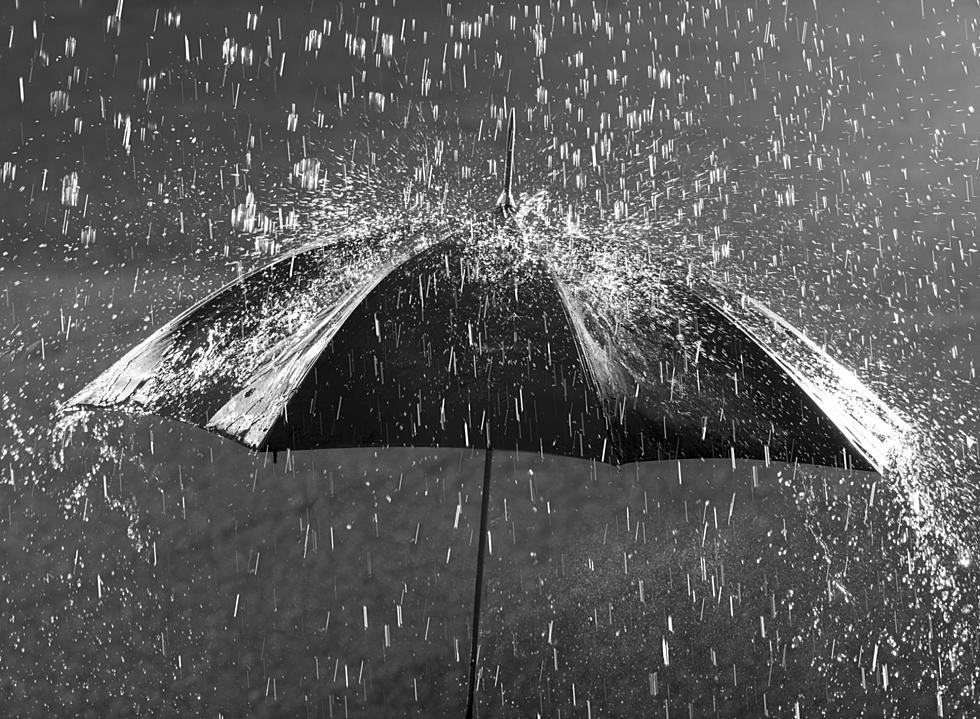
Mother's Day weekend has been a wet one and it looks like we could have another good chance at some rain and maybe severe weather.
The National Weather Service is predicting an 80% chance at some rain. However, this weather pattern seems a little on the unpredictable side, according to the National Weather Service Severe Weather statement.
SEVERE WEATHER WILL BE POSSIBLE...BUT UNLIKELY...LATE THIS
AFTERNOON AND EVENING. SHOWERS AND THUNDERSTORMS WILL MOVE INTO THE
AREA BY LATE MORNING/EARLY AFTERNOON...THESE STORMS WILL NOT BE
SEVERE BUT...WILL PROVIDE ENOUGH CLOUD COVER TO KEEP THE AREA
STABLE THROUGH THE AFTERNOON. IF SOME AREAS DO BREAK OUT INTO
SUNSHINE THIS AFTERNOON CONDITIONS MAY BECOME UNSTABLE ENOUGH TO
PRODUCE SEVERE STORMS CAPABLE OF LARGE HAIL AND DAMAGING WINDS BUT
THIS SCENARIO SEEMS UNLIKELY.
Sedalia/Pettis County EMA Director, David Clippert echos these thoughts.
A strange weather day. As you can see on the graphic a nice sunny day sets us up for a possibility of severe weather later. We have a very low tornado threat and a 15% chance of high winds (58 MPH or higher) and a 15% chance of large hail (1 inch, about the size of a quarter or larger).
Or we may have cloudy and rainy today which means we most likely will not see any severe weather. If we do get severe weather, it will most likely happen in the early afternoon. Today is a good day to keep an eye to the sky.
If severe weather breaks, listen for updates from our Weathereye team on Better Country KIX 105, 92.3 Bob-FM and Newstalk 1050 KSIS.
More From KIX 105.7